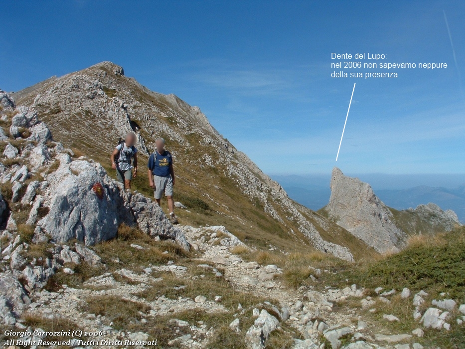
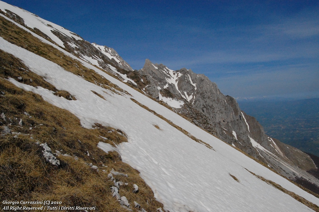
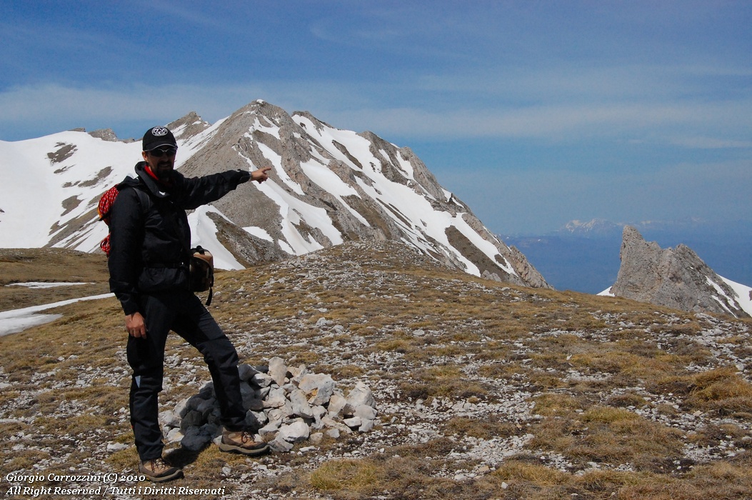
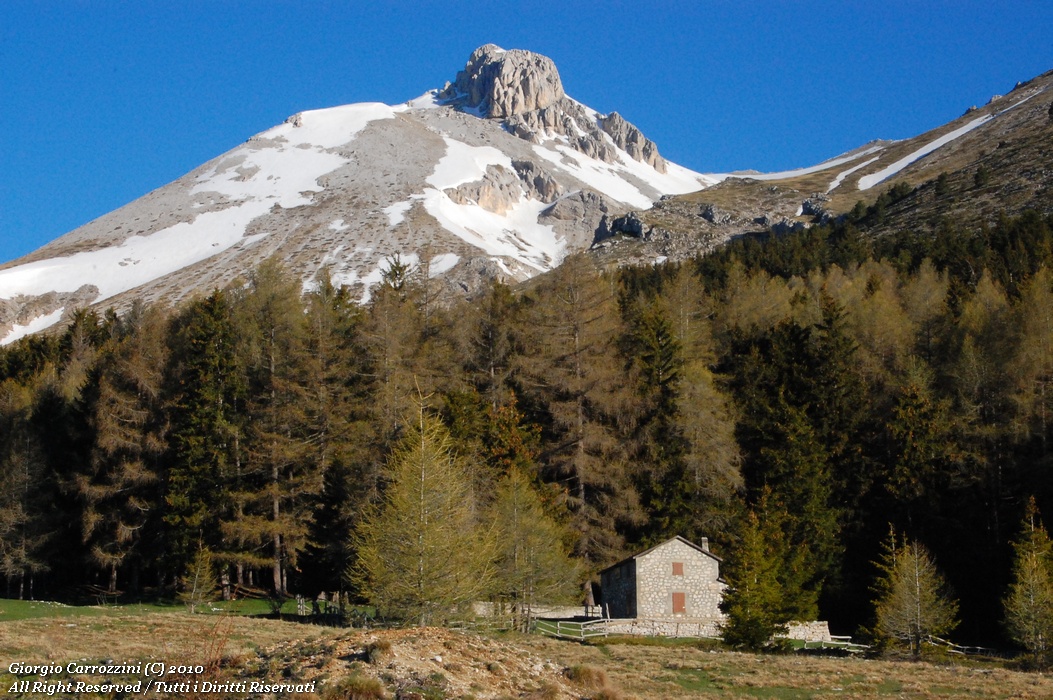
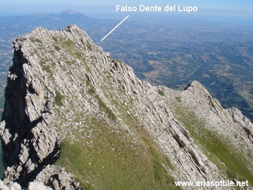
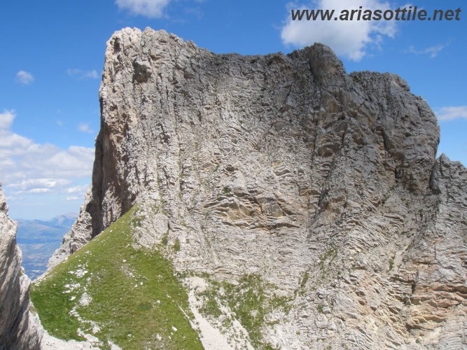
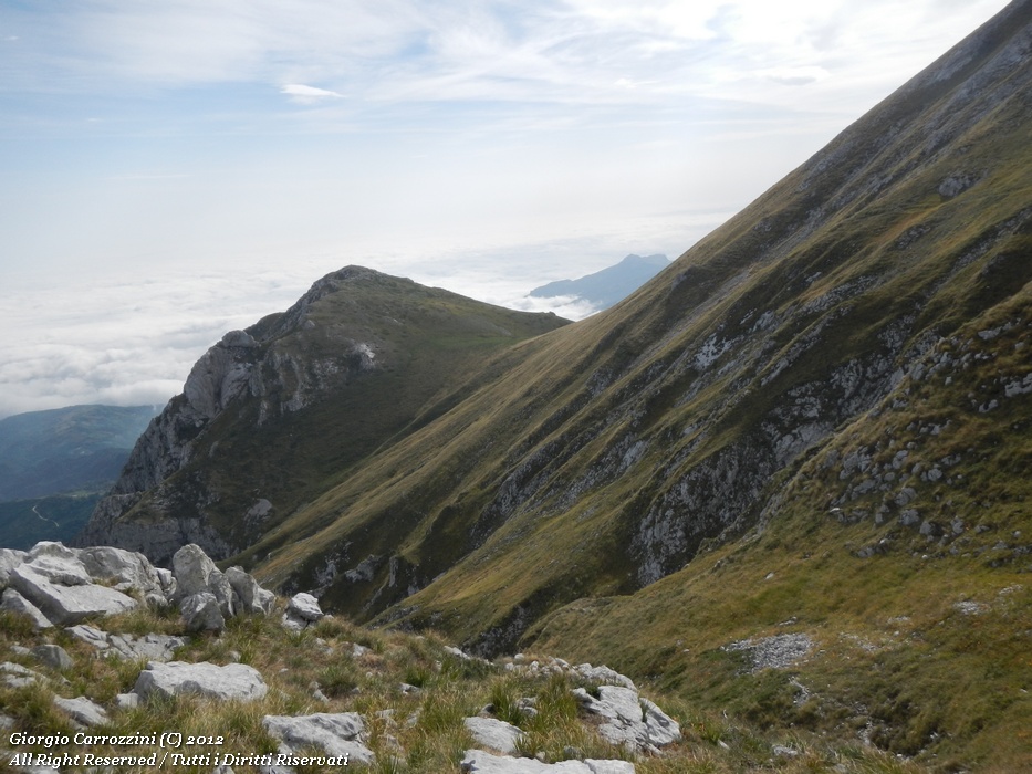
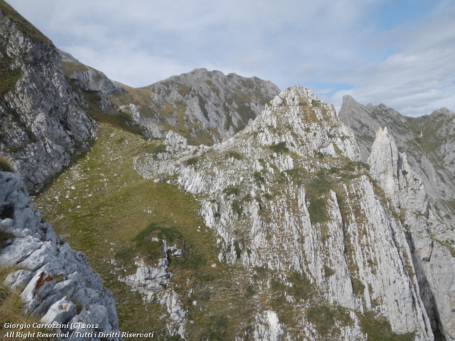
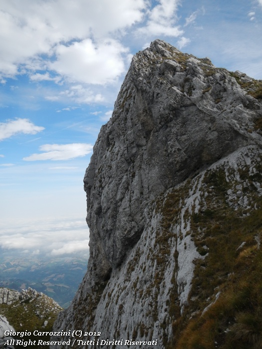
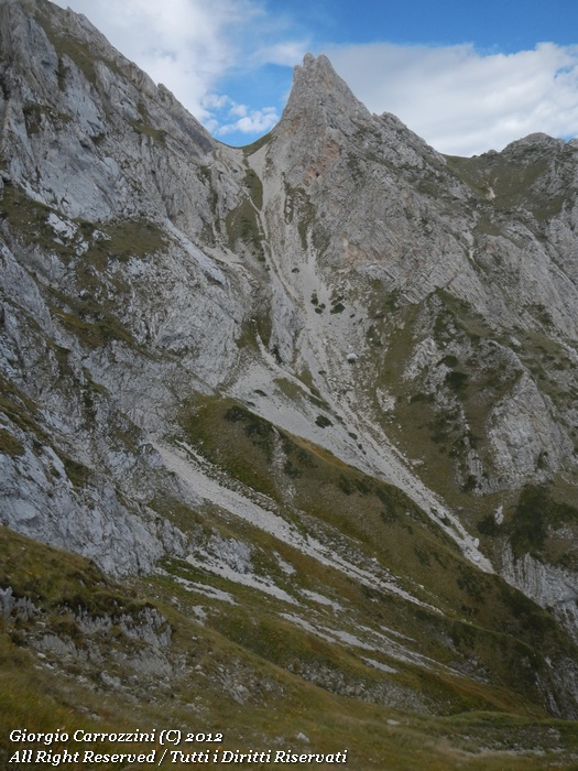
We are in the Gran Sasso massif. To be precise, the “Dente del Lupo” (Wolf's Tooth) lies at the eastern end of the Gran Sasso range, close to the summit of Monte Camicia.
It is a spur of rock that the ordinary hiker probably wouldn't even notice. Some first information can be found in the book devoted to the 2000-metre peaks of the Apennines published by Il Lupo, while other information turns up in the guide to the Gran Sasso published by S.E.R.; still, these are always far too scanty notions. The maps are generally all very clear, perhaps because they are simply rebuilt from the extremely precise IGM maps.
{tab=Introduction}
|
With the birth of the Club 2000m, some of us began to enjoy collecting all the summits on the list of the Apennine 2000-metre peaks. Although it isn't a compulsory summit for completing the list, I wanted to treat myself to finding out whether this summit was, so to speak, “doable” and, if it was “doable”, in what way. The question that arose naturally was whether this was a summit suited to hikers or whether we were already in the thick of mountaineering proper. Among the many vocations of the Gruppo Escursionistico Aria Sottile there has always been that of making technical information available to all users about the climbs, the lines, the itineraries, the paths and the routes for reaching certain summits of the Apennine mountain environment. So, besides my curiosity to understand the features of this peculiar summit, I had set myself the goal of clearing up all the doubts that were floating in the air, the “hearsays”, the “I believes”, the “ifs” and the “maybes”. The first ascent of the summit of Monte Camicia by the Gruppo Escursionistico Aria Sottile dates back to 1 October 2006; at the time of that first ascent we didn't even suspect that beyond that summit there was hidden a summit far more complex than Monte Camicia itself. We still had to gain a deeper knowledge and mastery of the terrain before we could pick out places that were, even only psychologically, too far away from us. The only news going round “in the empyrean of our home-grown mountaineering” concerned the possibility of climbing the famous “Gravone”. But such a demanding climb seemed gruelling to us, as well as full of dangers: exposure on the mountaineering passages, rockfall, the impossibility of belaying along the route because of the constant loose rubble. Even the first man to climb all the summits of the Apennines, the very well-known Marcello Ferrazza, can't explain to us exactly how to reach the summit of the Dente del Lupo. Perhaps it was simply an instinctive mental resistance of ours that really kept us from understanding the complexity of the outing. |
{tab=Explorations 2010}
|
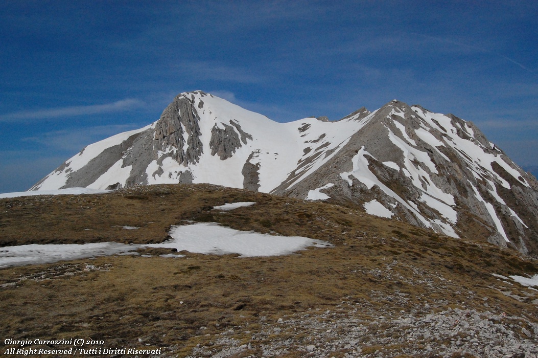
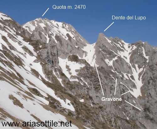
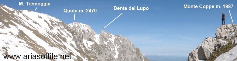
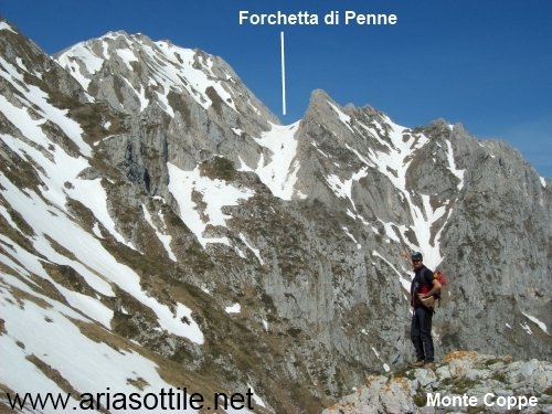
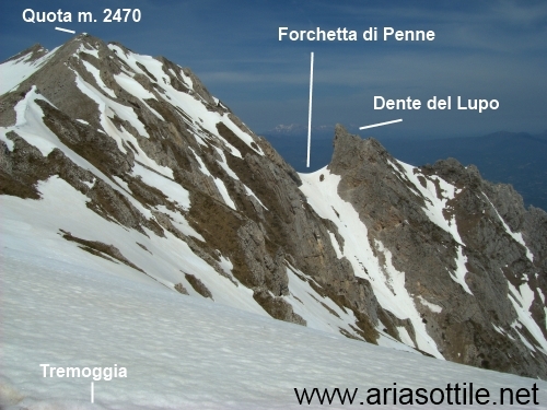
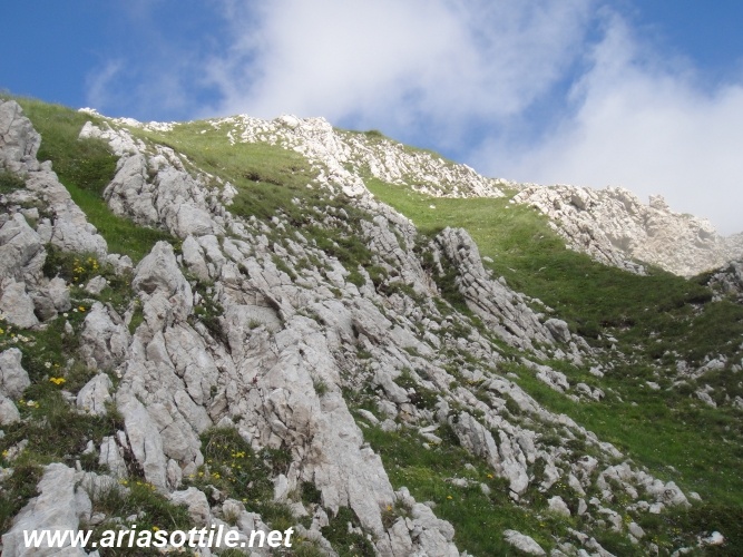
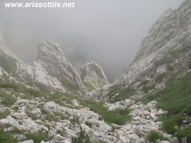
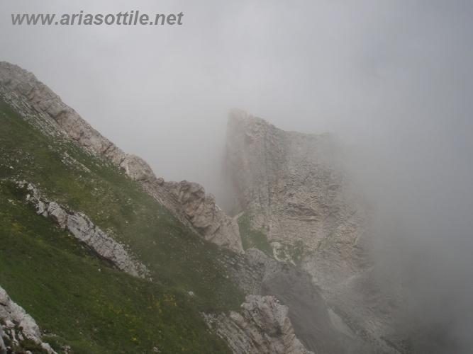
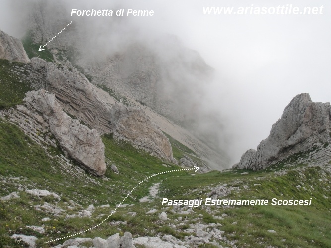
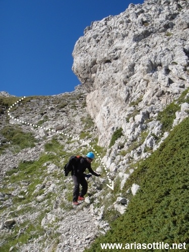
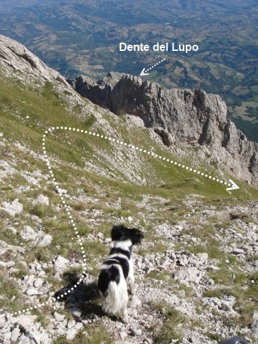
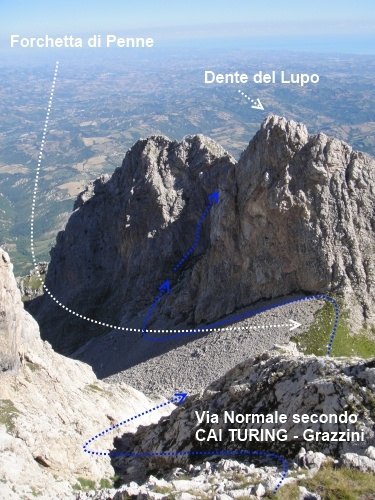
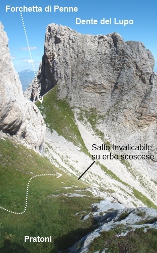
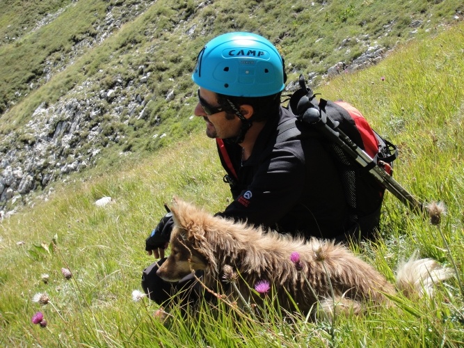
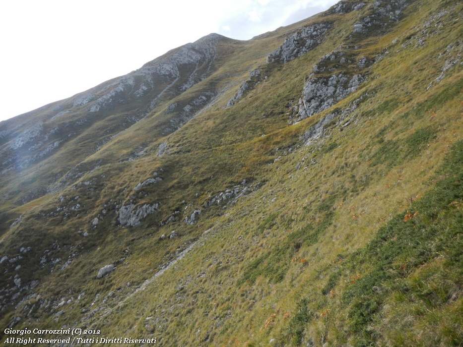
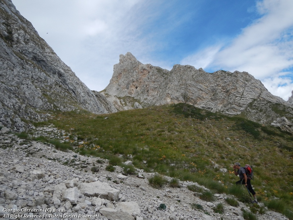
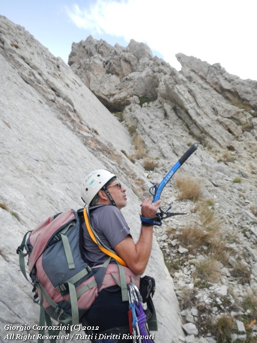
During the hike to Monte Siella on 1 May 2010 we improvise an exploration of the Dente del Lupo. It's D.R. and me; we climb the ridge from the Siella up to Monte Coppe. Towards the Dente del Lupo the view is astounding. More than a simple “Tooth” it looks to us like a real “Canine”... sharp and pointed as few towers in the Apennines know how to be. Still in an exploring spirit we reached Monte Coppe, at 1987 metres, but we can't make out much. The distance and the height of this low hill didn't allow us a detailed view of the passages that were said to lead from the Sella del Tremoggia to the Forchetta di Penne. On that occasion we took a few photos and then climbed up to the summit of the Tremoggia. Here the snow and the lack of crampons forced us to break off the exploration. On 18 August 2010 I went back to the Tremoggia with Alessandro to explore the normal passage that, so they say, leads from the Tremoggia to the Forchetta di Penne. We went past the summit of the Tremoggia and start climbing the ridge that leads to Monte Camicia. Too soon we decide to bear right and slip into a narrow gully. We start descending in a stern setting of towers and slabby rock. Certainly not too exposed, but steep, on grassy and at times slippery meadows. But the Forchetta di Penne still remained too far away. Holding firm to the principle that it is easier to go up than to come down, we discover we have an advantage in exploring: every slope we manage to descend, we are sure we can climb back up. When I get home, somewhere between disappointed and disheartened, I immediately rush to read the description of the normal route to the Dente del Lupo in Luca Grazzini's guide published by CAI-Touring. In the guide the short explanation is clear: you have to reach the 2470 m point. Just before that point you start descending over steep open grassy slopes and then go down into a narrow gully with “little steps when there is no snow”. Thinking back over the exploratory outing, I realise I was off by barely 50 metres. I would probably have reached the Forchetta di Penne if only I had remembered the description and had in any case made the proper comparison between description, map and terrain. It is the classic mistake you make when improvising: misjudging distances and not reading the maps. On 1 September 2010 we decide, for the umpteenth time, to go exploring, at least to reach the Forchetta di Penne. The plan is the usual one. Climb Monte Camicia by the normal route and go and find the elusive 2470 m point. Alessandro and I are physically in pieces. Lack of training has left us both slow and worn out already after the first 500 metres of height gain. During the climb two little dogs follow us with a quick, sure step: “the advantage of 4 legs”. When we reach the ridge of Monte Camicia we see a stone cairn... Here it is, at last, this is the 2470 m point. Now we have a precise point of reference. Beyond this point we see a rocky spur that looks frighteningly like the Dente del Lupo. The little dogs, hopping and skipping, reach the spur on their own in a few minutes. I am thrilled, because I have the impression I can almost touch it. For a moment I end up believing I am in front of the Dente del Lupo. With an effort of rationality and cool-headedness I start observing the summits below. From the 2470 m point I pick out the massif that forms the Dente del Lupo. In fact, compared with the main massif of Monte Camicia, the Dente del Lupo is a buttress entirely on its own, and a very well-defined one too. From here the Forchetta di Penne cannot be made out at all. Alessandro and I decide to go down a few metres towards the Tremoggia (to the east) to take the first narrow gully below the 2470 m point. In fact, just as Grazzini's guide said, we are in the presence of steep open grassy slopes. The little dogs, still following us, seem to move with lightness and agility. Out of caution we move one step after another, driving the pick of the ice axe into the earth where the slippery grass grows. The ice axe is supremely useful: we use it as if it were a handrail. We couldn't do without it. I avoid two big slips precisely thanks to the ice axe. In the grassy gully a fall would be disastrous; if I started tumbling I don't know where I'd manage to stop. The descent is slow and I have to measure every movement. Climbing back up, we find again the little saddle that leads to the stony gully, the one considered the normal route to the Forchetta di Penne. We try an approach, but the gully is absolutely impassable. At the little saddle we notice some writing: there is a big red cross with the word “LUCKY”. |
{tab=At last on the summit...}
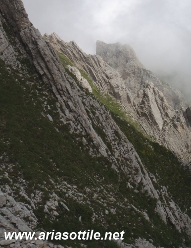
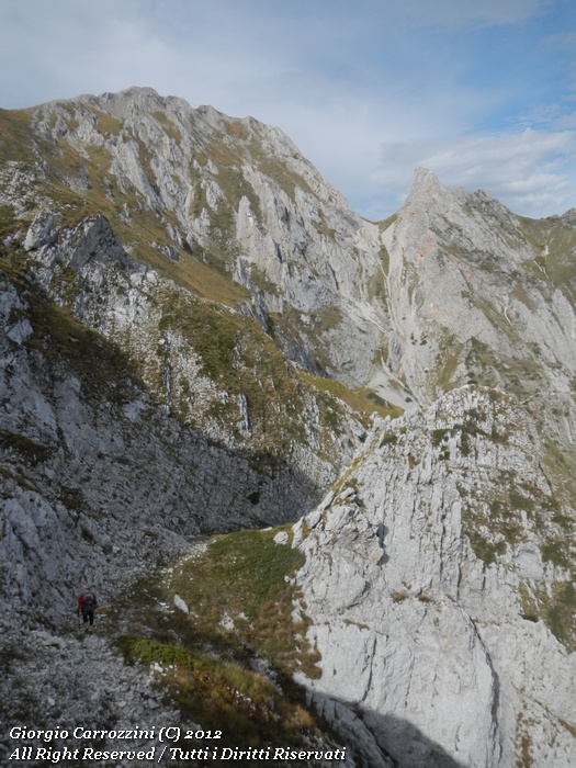
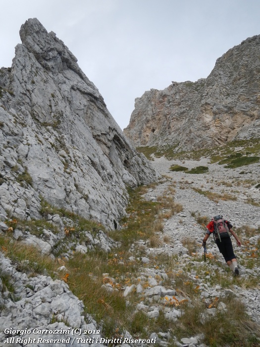
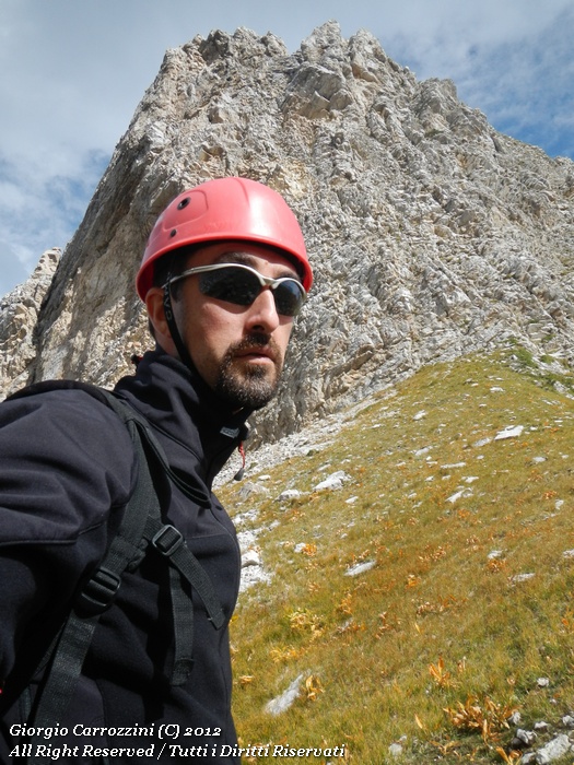
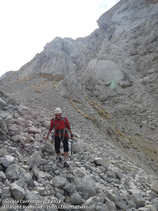
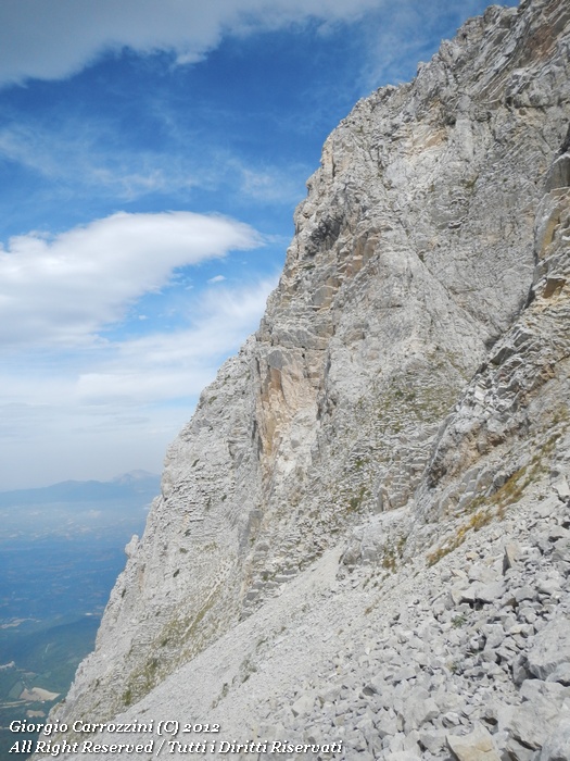
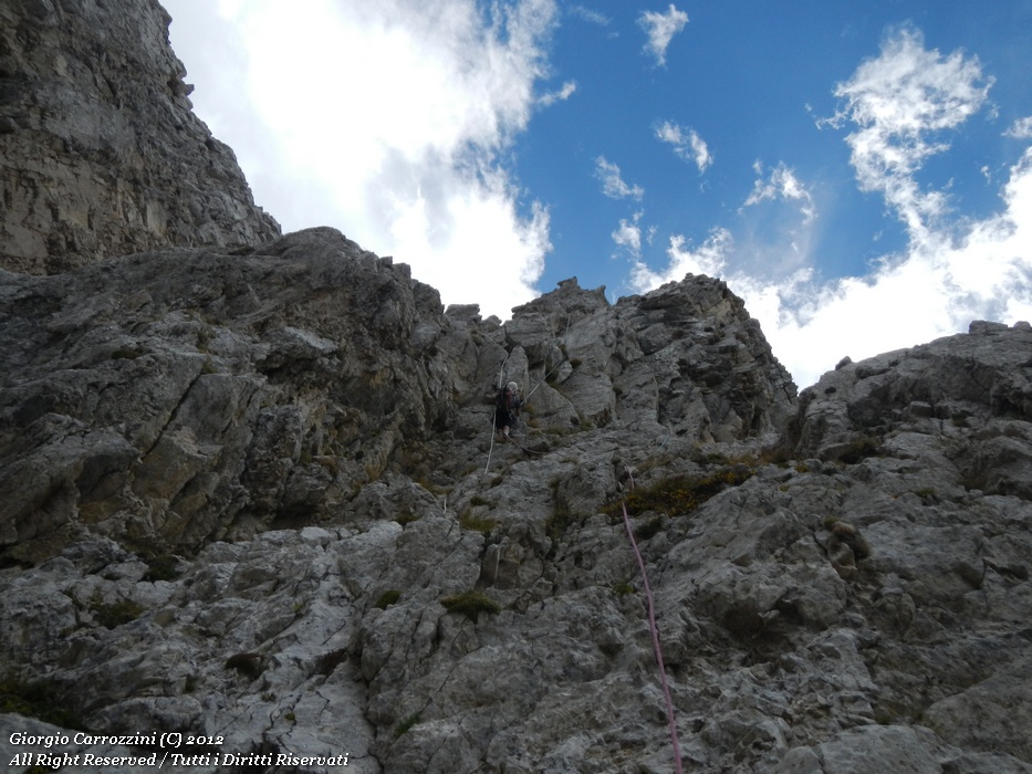
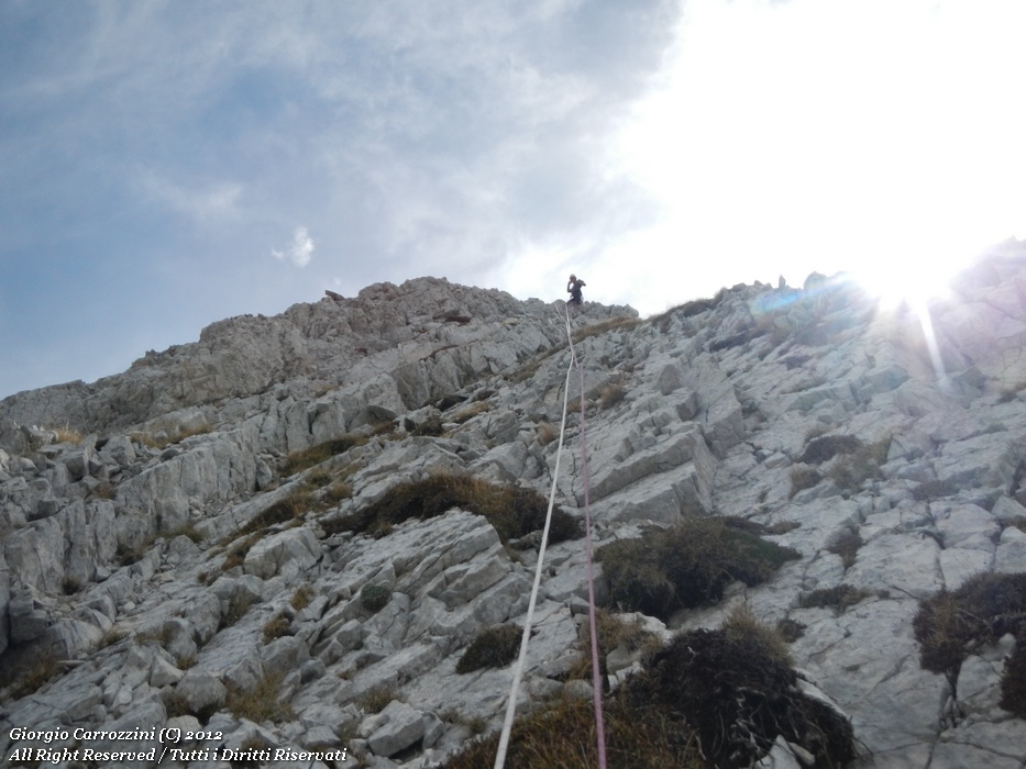
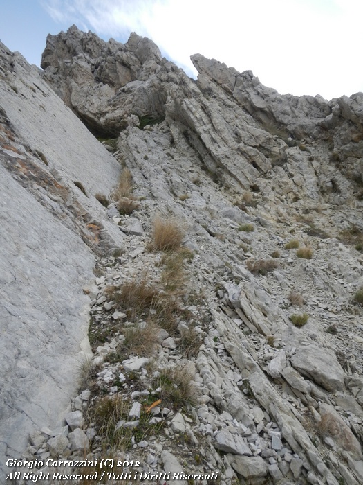
It is finished...In the third Matrix film, Revolutions, the hero Neo and the Architect have one last confrontation: the Architect reveals to Neo that the First Matrix was perfect but that man did not adapt to that perfect world. The Matrix was reprogrammed to present a programmed flaw that allowed man a minimum of discretionary freedom. In the light of this incredible day I find that, in my own small way too, an imperfect world is probably preferable. I leave behind me a small “well-made world” to go and meet an inhospitable place. The questions may arise naturally: who makes me do it, being tense to the brink of spasm and not managing to sleep at all? Who makes me do it, getting up at 4 in the morning? Who makes me do it, walking for hours, sweating, panting constantly with stones in my boots? Why walk with the sun cooking your skin, leaving the family at home, the sweetness of a partner waiting for you, worried. Why give up the serenity of a family breakfast, the fun of games with the children. Who, who makes me do it? Probably it's that I am instinctively drawn to explore an imperfect world... We set off from Fonte Vetica with all the gear for a small mountaineering climb. The news going round about the Dente del Lupo is all vague, none of it really satisfying. The route Massimo suggests is the one everyone suggests is the “normal” way up. You climb to the saddle of Monte Coppe, where clear traces of path lead onto the northern side of Monte Tremoggia. We follow the low traces, a small mistake that will force us to climb back up some twenty metres along the narrow gullies of the Tremoggia. The trace of path, not very well defined, is however there and was probably much used in the past. It isn't very exposed and it moves through a setting of towers and gullies of loose rubble. This is the rock of Monte Camicia: crumbling stones, little flakes breaking away, loose rubble alternating with grass, earth, dust. Buttressing these gullies are the numerous towers that characterise the whole side. You go down on the north-western side of the col, moving over loose rubble of large size. The stones vary in size, as big as a suitcase. You skirt round the base of the Dente del Lupo as far as the foot of the first notch (only afterwards will we discover that the normal route is in the second notch). We ask ourselves the question just once. Is the route in the first notch or in the second (the more northerly one?). In this first notch, which starts from the summit, we see a white rope hanging down, but this certainly doesn't reassure us. We can't rely on this rope to climb. In the CAI Touring guide by Grazzini and Abbate the route is given an overall mountaineering grade of Facile (F, easy) with little moves up to grade II. But what does an overall grade of (F) easy mean? Probably a grade of this kind lies in the fact that to climb this summit you don't need any particular technical mountaineering knowledge but... on the whole the climb is really arduous. Little grade II moves? I'd say not at all. In some places the rock has grade III moves; it turns vertical and, even if it offers plenty of footholds, these are completely unsafe, especially in the lower and middle part of the route. No danger rating is given, but this is certainly not a safe climb... as perhaps mountaineering isn't either. From the Forchetta di Penne we climb back up on the left in a 15-metre narrow gully made of recessed, gently angled slab. Then we bear left, climbing over stable rocks and grass. At last we find ourselves at the famous LUCKY writing, where an arrow shows us the way back. The water of Fonte Vetica appears to me like a mirage, and I think only of that for the whole way. I am in a state of trance; I am satisfied but not elated by the conquest. Without Massimo I wouldn't have got anywhere. In two hours we cover the whole descent to Fonte Vetica; I am completely dehydrated and I drink almost ½ litre of the spring's ice-cold water. I have to hold back to avoid a stomach cramp. All this has been my imperfect world... and it fits my fickle character perfectly. Every now and then we need the pleasure of the thrill, we can't do without it, we have to feel emotions, we have to explore our limits and the boundaries of the physical world and of the mental one. |
{tab=Conclusions}
Just to show how easy it is to get things wrong, I want to report one of the many cases that are very... ahem... “Italian”: wrong information sometimes (alas) comes even from on high (nobody's perfect). We are talking about a website entirely devoted to the mountains, which today, out of respect, we don't want to name.
The site published the following news item, dated 13 July 2009.
- Spectacular “Dente del Lupo” of the Gran Sasso massif. A fascinating ridge, a fine photo that captures it. This is the winning shot for June of the Montagna.org Calendar. This month you sent us loads of photos of your mountains in summer. Here they all are. And congratulations!
“Il dente del lupo” by M. G., so the photo that holds first place for this month of June 2009 in the Calendar of .... [Omissis]
The photo was wrong and did not show the Dente del Lupo at all.
But the news chasing itself around the web, in e-mail inboxes... there is too much of it, all of it more or less inaccurate and, above all, based on a virtual knowledge of the mountains. Everyone looks for reliable news on how to get onto the Dente del Lupo. Many, yours truly included (sigh!), improvise maps taken from Google Earth and from its NASA counterpart, the very useful Worldwind.
The incorrect, incomplete, imprecise information that gets created is the typical example of how the hiker and the mountaineer should “NOT” get informed.
On other photo sites we find photos of the Pietra della Spia, a pointed rocky spur between Monte Prena and Monte Camicia, mistakenly taken for the Dente del Lupo.
What I learnt from this exploration that lasted 2 years...
From all these incomplete experiences, mistakes and misinformation I learnt many things.
The only knowledge possible is that of concrete experience. “Virtual” knowledge, which passes through so-called “theoretical” information about the world, is worth nothing. Far be it from me to open a philosophical diatribe in Messner's style; we would never finish.
Yet I can't hold back from saying that the hiker has the imperative to do... precisely, “the hiker”. He must put his rucksack on his back and set off to discover the terrain, sometimes, why not... even without tourist guides.
There are no great differences between hiker and explorer. The hiker who has never been to a certain place in fact discovers it “for himself”, as if it were the first time. That someone else has been in that same place makes no difference to the hiker, as far as the experience goes, as far as the knowledge goes. This pragmatic, material, physical knowledge... is the only one that really “lights up” thought... in the same way as the lantern does in the darkness of the night.
By basing your information on “virtual” research you end up demeaning hiking, impoverishing the cognitive value of the “first time” and of concrete experience.
Fortunately that value is never really cancelled out, even if, when the information is wrong, you always end up creating great confusion. You find yourself having to put order into the world of man's “metaphysical ideas” (without ever finishing). That's why, in my opinion, the concrete experience of exploration alone is already enough.
With this new way of doing the mountains (and I say this against the informative interest that the Aria Sottile website has carved out for itself), we have taken something away from the mountains, but above all we have taken something away from ourselves. We have deprived ourselves of the possibility of “living” and making a life for ourselves as hikers and as mountain folk. The knowledge that descends from the “virtual”, the kind created on maps, on photos, on images, through computers and 3D graphics programs, has perhaps brought us all closer to the mountains. Certainly we are all better informed now, but this has made us incapable of living the mountains in a direct, simple... true way.
{/tabs}
Photo gallery







Fact sheet
- Hike fact sheet
Because of the complexity of the route and its danger no fact sheet will be produced. It is wrong to believe that this is a summit accessible to everyone. What we can suggest is a climb alongside a mountain expert. We urge caution on all those who want to climb this summit.