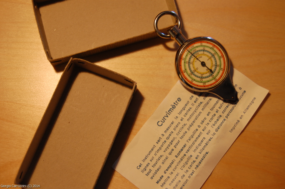
An instrument now largely supplanted by GPS devices and electronic tracks, it is an instrument from another age. And yet this is an instrument that gives the hiker clear guarantees that it works. It is ideal for getting a clear, precise measurement.
You don't see it everywhere; it looks as if it came out of an antiques shop... probably someone, like me, inherited it from their grandparents without even knowing what it could be used for...
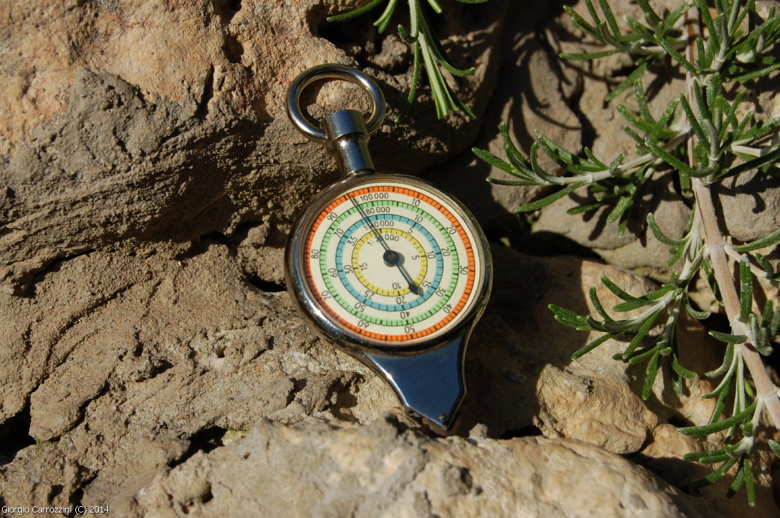
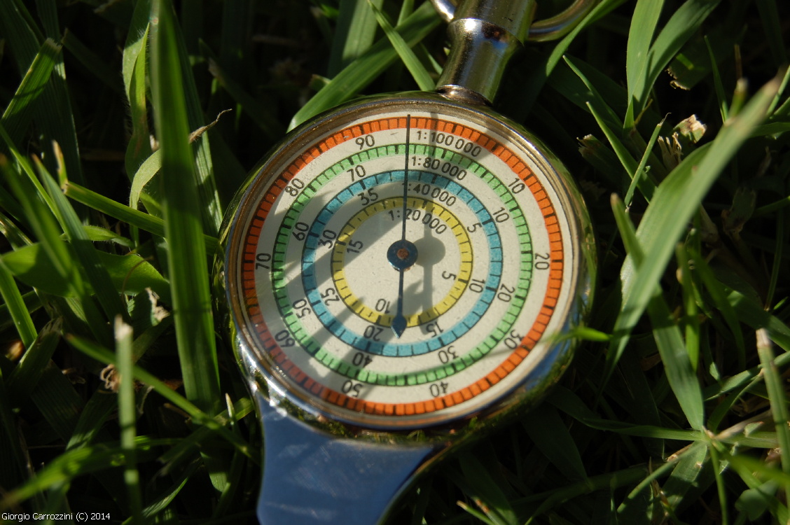
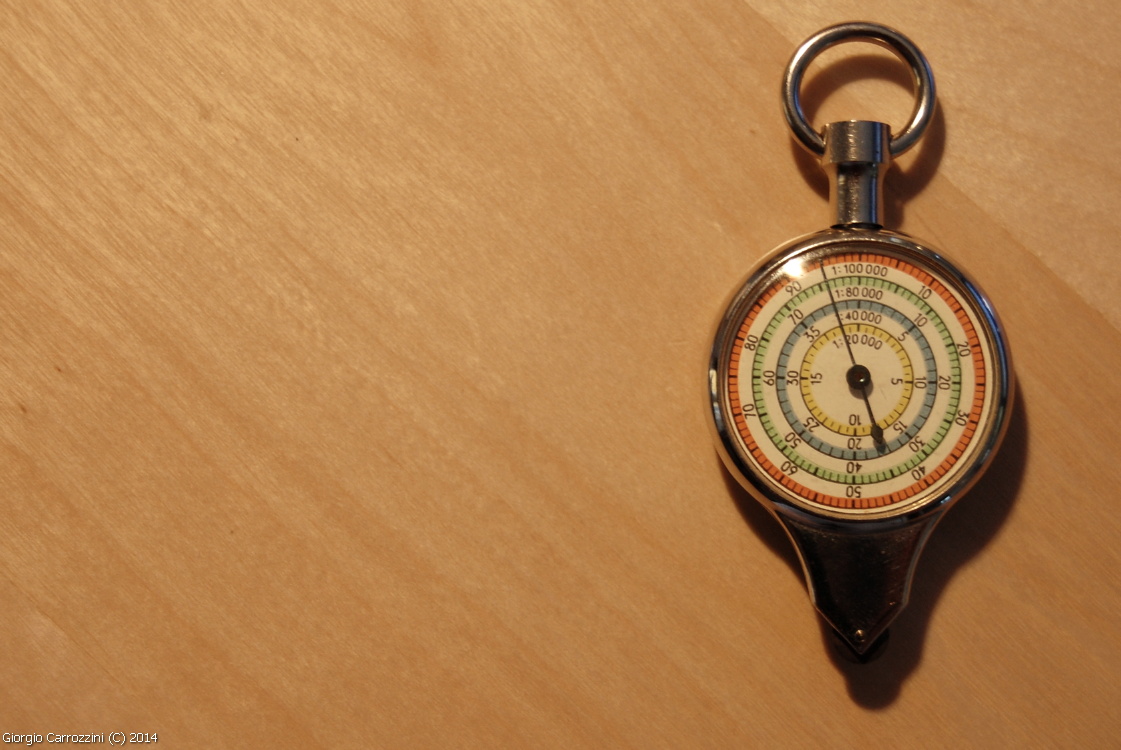
It is the “curvimeter”, an instrument from our grandparents' day, elegant and precise like a Swiss watch. The curvimeter lets you measure the length of a route directly on a map. The curvimeter shown here in the photo has 8 different scales.
On one side of the curvimeter we have
- 1:200,000
- 1:75,000
- 1:50,000
- 1:25,000
On the opposite side of the curvimeter, instead, we find:
- 1:100,000
- 1:80,000
- 1:40,000
- 1:20,000
These are the main scales at which maps are reproduced.
How do you use the curvimeter?
The curvimeter is a precision instrument fitted with an outer wheel which, run along the map, transfers its movement to an internal mechanism that moves a single hand. As it turns, the hand shows the corresponding kilometres (or fractions of a kilometre) in the real world. The measurement is fairly accurate and above all lets you take the bends of a route into account (especially in trekking and hiking, where routes can be made up of numerous detours and bends). Ideal in other kinds of sport and recreation too: motorcycle rallies, cycling, mountain biking or simply all kinds of touring.
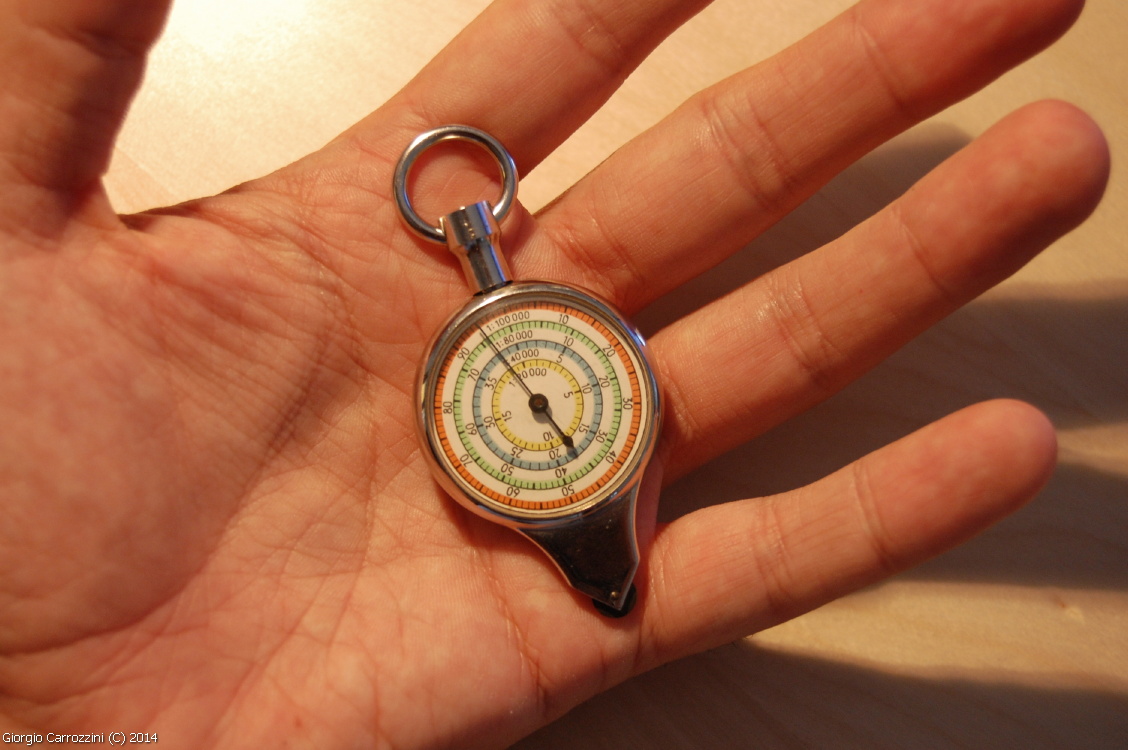
Physically it is a rather small and very light instrument that works without batteries and is guaranteed to work at any temperature. To the touch it gives the feeling of being very solidly and sturdily built.
An instrument with the charm of another age, a curiosity for a few sophisticated connoisseurs, to rediscover that contact with the physical reality of the paper map.
Photo gallery