Forca di Ancarano is just under 6 kilometres from Norcia, along the connecting road that leads to Preci on the SP 476 provincial road. The col is at 1008 m above sea level, below the imposing bulk of Monte Patino.
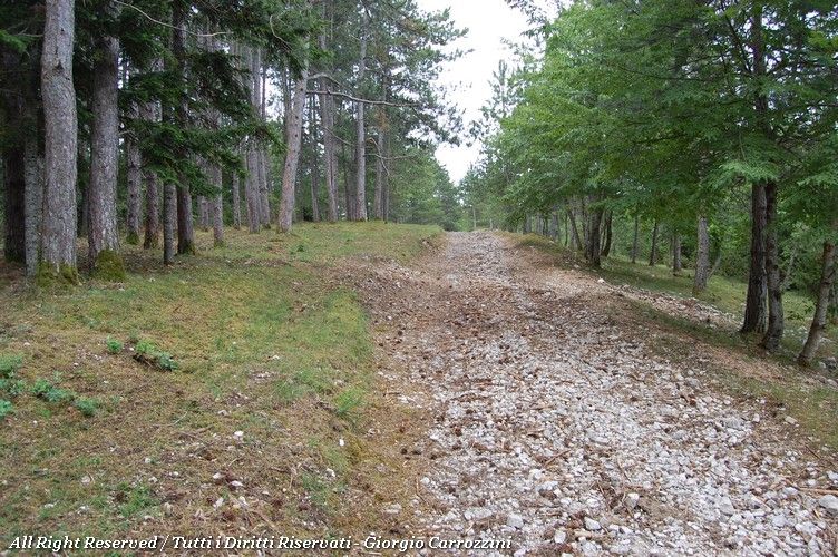
At the pass you leave the car near a gravel road. The picnic area is about 500 metres on foot from the road.
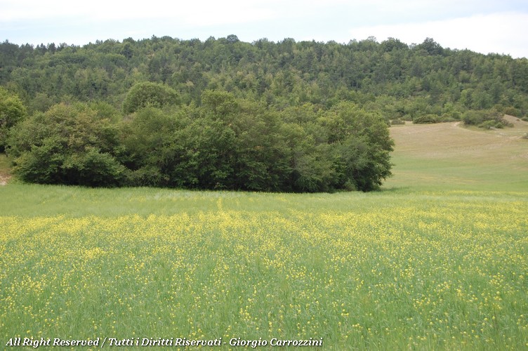
The natural environment of this wonderful mountain area is characterised by dense vegetation, while in the highest part a dense managed fir wood dominates instead. It has to be said, however, that the undergrowth seems rather left to itself, as does the picnic area itself.
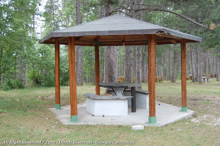
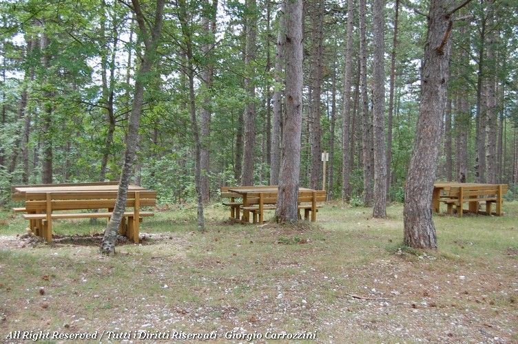
Tables and benches are plentiful (we counted more than 7 tables with their benches) and can take a large number of people. Two of the tables stand under two hexagonal wooden shelters which, in case of sudden rain, can serve as temporary cover.
A water point is indicated by the hikers' signage, but we couldn't work out whether the water in question was drinkable. A pity to find the picnic area in a state of near neglect. Especially in summer, when casual visitors are more likely to come by.
To discover the paths in the surrounding area, the Carta dei Monti di Spoleto e della Media Valnerina map is useful.
Photo gallery


Fact sheet
- Apennine area
- Central Apennines
- Italian region
- Umbria
- Getting there
- From Norcia: follow the ring road along the town walls and leave heading north-east, following the signs for Fontevena along the SP 476 provincial road. From here the road climbs to the col in wide, winding bends, quickly gaining height. From Preci follow the signs for Campi and then for Sant'Angelo and Ancarano. The passage through the wide Valle Castoriana is wonderful.
- Suggested season
- Spring, Summer
- Tables available
- 7
- Water available
- Drinking water
- Fires allowed
- Yes
- Posizione
Visualizzazione ingrandita della mappa- Webcam
- Webcam not available