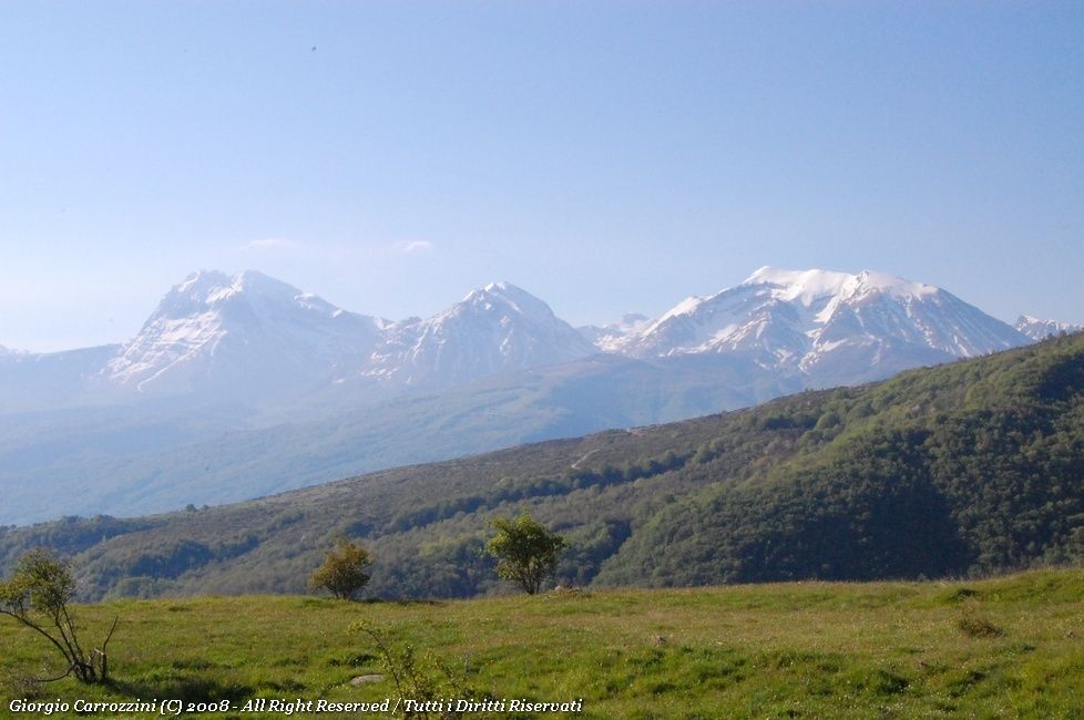
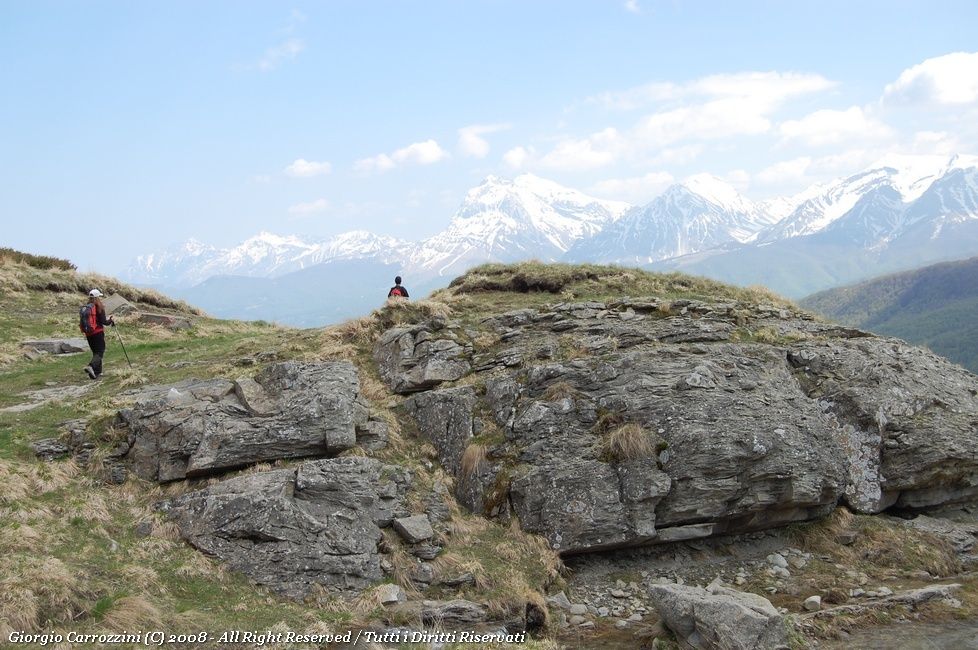
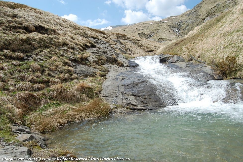
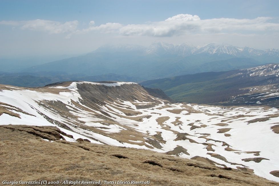
Introduction: The freshness of the route, found again in the rush of the waters, in the light and in the colours of the vegetation. A refreshing route, not very demanding, best suited above all to the spring and summer season. It offers wide views over the mountains of the Gran Sasso massif.
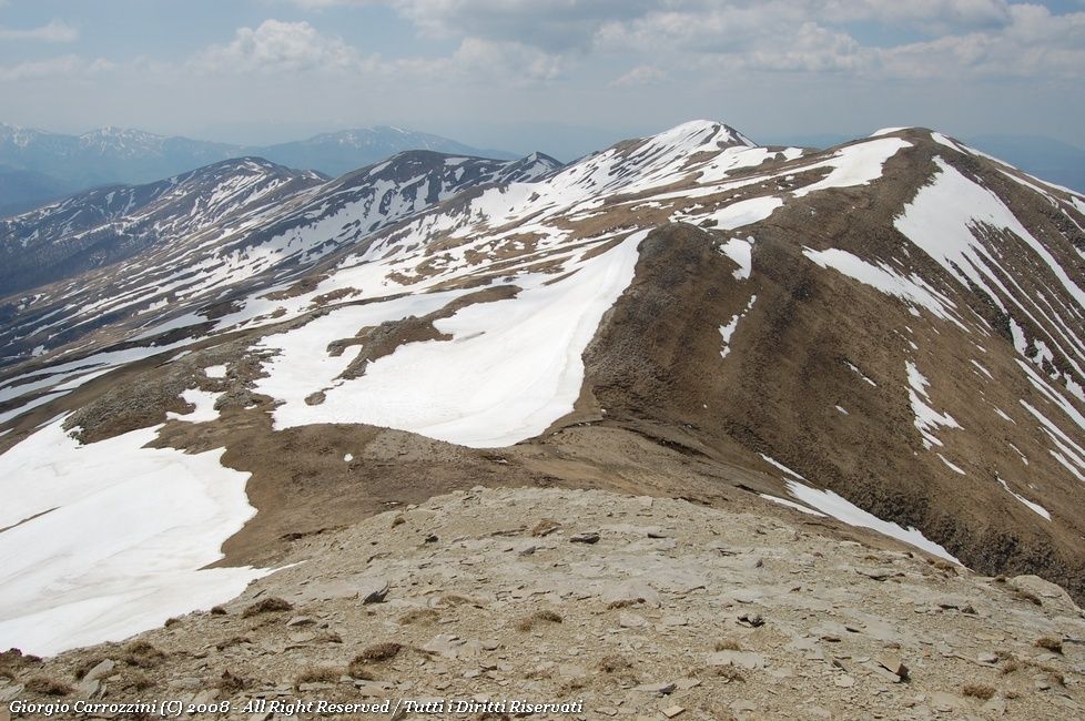
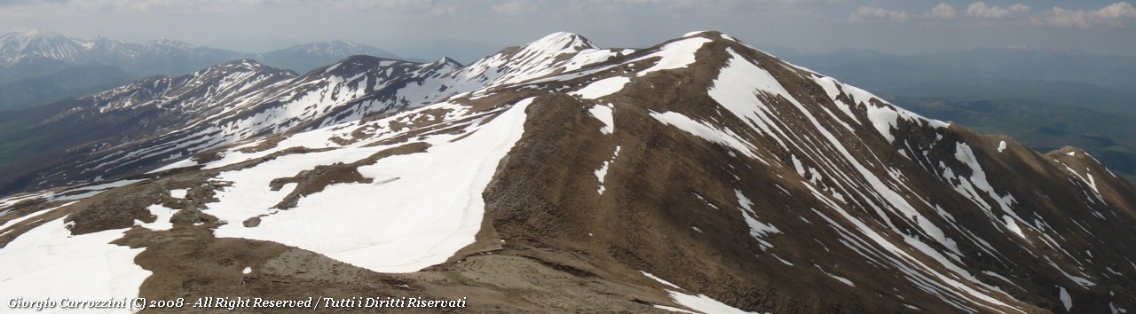
Route characteristics: Paths easy to pick out, provided you know exactly where to go at a few key points. Some uncertainty higher up; the route takes in the three Cime della Laghetta.
The story of the outing is in the trip report Cime della Laghetta e le Cascate delle Cento Fonti.
Route description
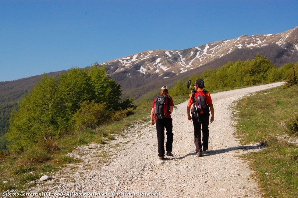
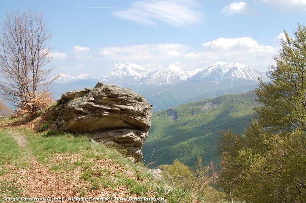
The gravel road carries on easily; after about 2 kilometres you come to a not very obvious fork on the left, close to an eroded formation of grey stones. There is a barrier: go round the barrier and carry on to the left. Note well... avoid carrying on along the white gravel road, which would take you far from your objective.
You pass through a band of woodland, and on leaving it you find yourself inside the Cento Fonti valley. The path climbs the valley in numerous bends. Here you start to hear the sound of water. After a small bridge the path gradually disappears. Here you try to stay along the channel that carries the meltwater, right beneath the high band of rock coming down from the summit of Monte Gorzano. The soft, grassy terrain stays like this all the way to the ridge.
You carry on until you come out on the Gorzano saddle, which joins the first of the three Cime della Laghetta.
Once you have gained the Anticima Nord (North fore-summit, 2372 m) of the Laghetta, you carry on to the true summit, which however is marked as lower than the fore-summit, and then on to the Anticima Sud (South fore-summit).
Once you reach the Anticima Sud you walk north into the valley beneath the fore-summit, where you will go down along the water channels until you reach the small bridge you came by and pick up the unsurfaced mule track again.
Variants and alternatives
You can go down to the Cima della Cipollara (altitude 2191 m), which lies right by the Anticima Sud of the Laghetta, heading west.
Notes on effort and difficulty
Frequently asked questions
How long does the Cime della Laghetta loop take?
About 7 hours 30 minutes for 17 km and 1150 m of total ascent. The physical effort builds gradually and the ridge is easy, while in the lower part you need to pay attention to route-finding: there is a path only on the first stretch.
When is the best time to go to the Cascate delle Cento Fonti?
The route is recommended above all for spring and summer, when the rush of the waters in the Cento Fonti valley, the light and the colours of the vegetation make the hike fresh and pleasant, with wide views over the Gran Sasso.